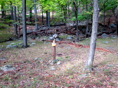
Glen Gray Orienteering Course
Control 2
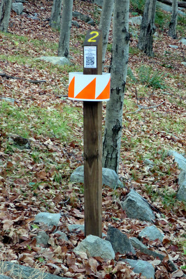
Longitude N41 03.572
Latitude W74 14.087
Altitude 786 feet
A view of the area around the control,
looking up the hill from the Millstone Quarry.
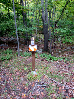
Glen Gray Orienteering Course
Control 19
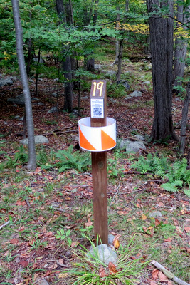
Longitude N41 03.679
Latitude W74 14.020
Altitude 602 feet
The Brave sign has been moved, so the described location of this control is no longer correct.
The location has not changed but the a better describtion is now:
30 meters at a bearing of 100 degrees from the utility pole which has the Thrifty sign mounted on it.
A view of the area around the control, looking down and across Fox River.
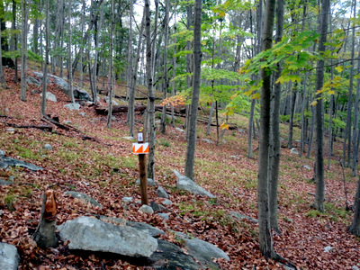
Glen Gray Orienteering Course
Control 4
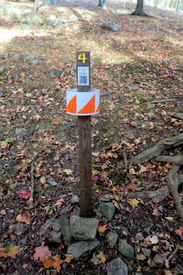
Longitude N41 03.829
Latitude W74 14.352
Altitude 675 feet
A view of the area around the control,
looking towards Sleepy Hollow from behind Mothercroft.
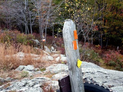
Glen Gray Orienteering Course
Control 3
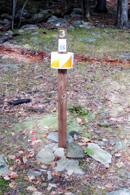
Longitude N41 03.791
Latitude W74 14.058
Altitude 705
A view of the area around the control, looking up towards Cabin Ridge.
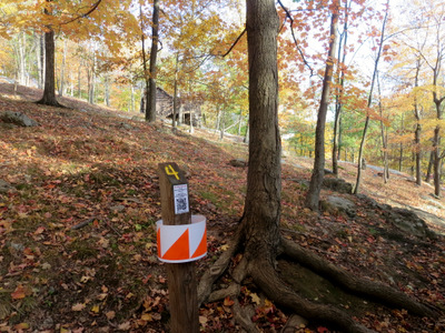
Glen Gray Orienteering Course
Control 14
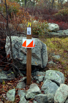
Longitude N41 04.401
Latitude W74 13.637
Altitude 983 feet
The Orienteering Leader's Guide as well as various maps and worksheets
have this location identified as Aligers Point,
this is incorrect,
Alliger's Lookout is 0.2 miles South from Control 14 on the Yellow Diamond Trail,
the area near Control 14 is called the North Lookout.
A view of the area around the control,
looking back towards Camp away from the North Lookout.